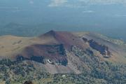
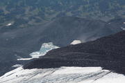
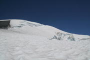
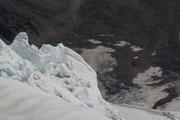
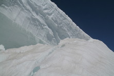
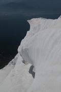
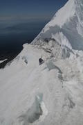
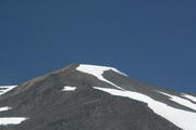
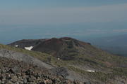
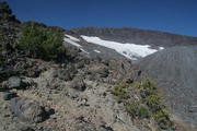
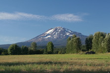
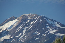
Google Earth placemark with a view of the Mazama Glacier route
This turned out to be one of the coolest climbs I have ever done, besides Rainier and Ortler.
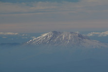
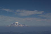
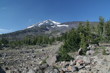
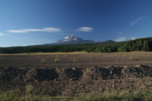
Having seen Mt. Adams numerous times from neighboring peaks in the central and southern Cascades, and its vicinity being blessed with notably better weather than the greater Seattle area, I felt it was time to climb it, and I was delighted that Charlie agreed and had time to join me. We chose the Mazama Glacier route because my guide book suggested it as a much more interesting alternative to the standard - and pretty boring - South Spur route while still being not very technical, such that we dared to do it without having a rope handy. Some other trail report calls it quite possibly the most beautiful climb available on the mountain, and our experience absolutely supports this rating!
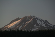
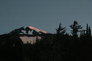
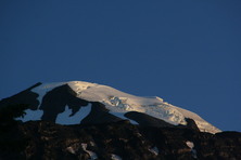
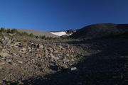
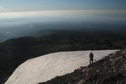
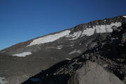
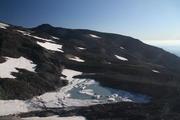
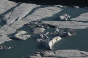
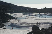
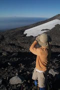
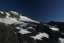
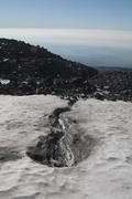
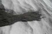
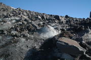
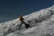
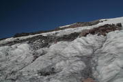
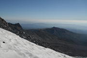
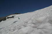
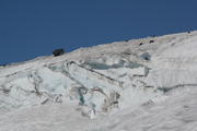
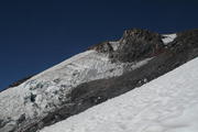
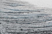
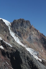
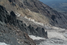
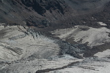
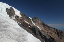
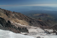
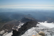
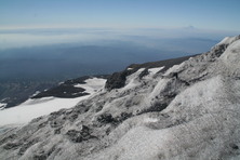
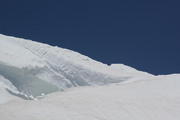
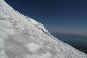
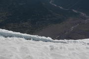
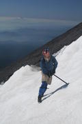
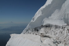
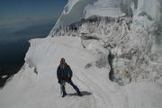
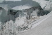
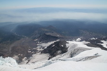
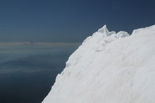
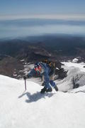
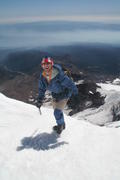
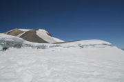
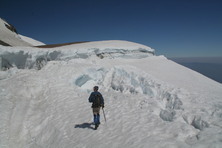
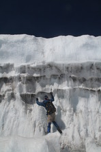
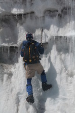
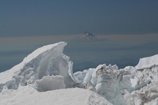
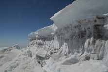
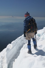
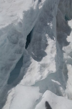
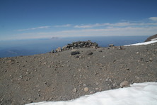
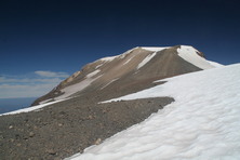
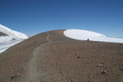
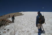
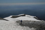
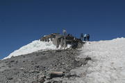
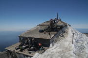
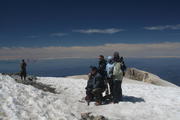
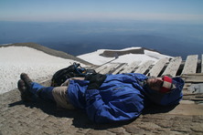
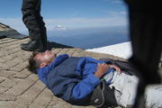
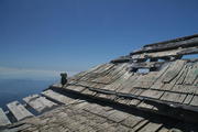
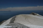
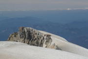
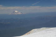
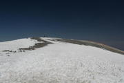
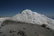
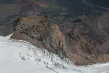
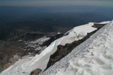
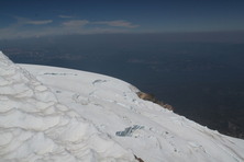
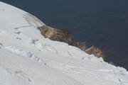
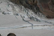
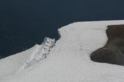
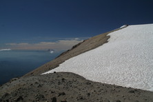
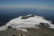
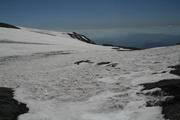
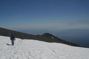
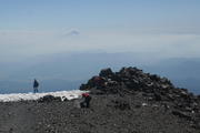
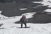
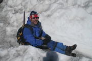
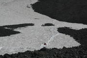
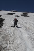
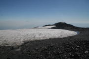
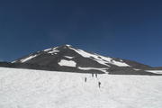
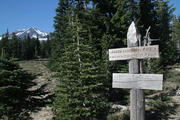
We departed from the Cold Springs Campground at 4:30 AM and reached Bird Creek Meadows at about 6 AM. Unfortunately, the guide book was way off stating a distance of only about 2 miles on the Round-the-Mountain Trail between leaving Trail · and the turnoff towards the bottom of Mazama Glacier. After about 3 miles on Trail #9, we still had not found the turnoff and proceeded cross-country towards the northeast - sorry for the damage to the fragile soil! When finally reaching the lower edge of the Mazama Glacier due to Charlie's good scouting skills, we estimated that the true turnoff must be about 4 miles east of Trail ·. When the glacier got steeper (up to 40°), we mounted our crampons, which were the only gear we strictly needed. Of course, it would have been safer using a rope, but for most of the time we were able to keep at the very (first eastern, later western) edge of the glacier where dangerous crevasses could be excluded. On the middle section of the glacier, we had to cross some minor crevasses, but the snow was still very hard and supporting. At about 10,500 ft, on the eastern fringe of the glacier, the panorama of Klickitat Glacier and The Castle - BTW the resting place of the ashes of Adams poineer Claude Rusk - was just fantastic! Near Pikers Peak (aka the False Summit or South Summit) we had two challenges: traversing to the right below the bergschrund and above a very steep snowfield with wide open crevasses at its lower fringe, and then crossing the upper section of bergschrund just below Pikers Peak, which we were eventually able to do by going to the left again. The more I think about it, I believe we actually did the Mazama Glacier Headwall route without knowing! After mastering those, we were on the final section of the South Spur, which is absolutely easy, yet I slightly felt the altitude for the rest of the ascent, getting weak legs and becoming a bit dizzy. We finally reached the summit at 1 PM, and stayed for more than one hour. The wind up there was pretty cool, but the rooftop of the old sulfur mining shack mostly sheltered from it and was a great spot to relax and chat with fellow climbers. Before we headed down, we went to the eastern corner of the rim which offered great views of Rusk Glacier and again The Castle, accompanied by strong sulfur odor. Glissading on our butts from Pikers Peak along some well-established chutes for about 1,800 ft vertical was much fun, though getting cold and wet. On the following third of the descent to Lunch Counter we were more or less able to glissade on our feet, which was very beneficial because I had slight problems with my right knee. Then unfortunately the rocky part began, first pretty steep, and then becoming more and more gradual. While we had been entirely by ourselves on the way up, the lower part of the South Climb Trail was a zoo - both of folks we passed during their final descent and of those who were on their way up to camp on e.g. the Lunch Counter. At a fork at about 7,000 ft, lacking a signpost, we took the right branch because it was the nicer variant, and later noticed that we would have wanted the left one, so again we traversed cross-country to the east, regretting to do further damage to the mountain flora. We arrived back at the busy campground at 6 PM. Interestingly, I had consumed less than 2 liters of water during the whole trip.
URL: http://David.von-Oheimb.de/gallery/Adams/index.html,
Last modified: Wed Feb 6 09:47:11 CET 2008
