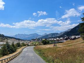
Eine dreiwöchige Wohnmobil-Rundreise mit ein paar Bergwanderungen im August 2023 von München über den Comer See und das Aostatal (Italien) durch die Westalpen, teilweise der Route des Grandes Alpes (Frankreich) folgend, zurück übers Rhônetal (Schweiz).
Weil wir über den Kleinen St.-Bernhard-Pass etwas 'quer' auf diese französische Bergpass-Route gestoßen sind und ich sie in eine Rundtour einbauen wollte,
die auch noch ein paar ganz andere Highlights der französischen Alpen beinhaltet und in der Schweiz endet,
war eine möglichst optimale Routenplanung recht schwierig — sie ist dann aber ziemlich gut gelungen.
Übrigens haben sich die südlichsten Bergpässe der offiziellen Route als nicht sehr lohnenswert erwiesen — man kann die Route
in der Nähe von Valberg beenden oder (wie wir) über die spektakulären Gorges du Cians und das bequeme Vartal in Richtung Nizza vorstoßen.
Die nördlichsten Pässe hingegen haben wir aus Zeitgründen diesmal auslassen müssen, wollen sie aber bald nachholen.
Für die Anreise und Rückfahrt aus bzw. in Richtung Bayern über die Schweiz bietet es sich an, das Inntal und die Lombardei zu nutzen, wo man nur zwei relativ bequem zu fahrende Pässe hat: Maloja und Kleiner St.-Bernhard — und/oder das Rhônetal und Rheintal, wo man nebem dem eher zahmen Col de la Forclaz nur den ernsthaften Furkapass hat.
As we joined that French mountain pass route somewhat in between (via Little St Bernard Pass) and I wanted to include it in our round trip
along with several further highlights of the French Alps and we were going to return home via Switzerland,
an optimal planning was rather difficult — yet in the end it worked out pretty well.
BTW, the southernmost mountain passes of the official Route turned out not really worthwhile — one may finish the route
near Valberg or, like we did, cut through towards Nice via the spectacular Gorges du Cians and the convenient Var Valley.
We did not have the time to do the northernmost passes, yet we wanna get back to them soon.
For the onward and return journey (from or in the direction of Bavaria) via Switzerland the Inn Valley and Lombardy suit nicely, where you have to drive only two relatively comfortable mountain passes: Maloja Pass and Little St Bernhard Pass — and/or the Rhône Valley and Rhine Valley, where you have besides the rather tame Col de la Forclaz only one serious pass at Furka.
Hier eine Aufzeichnung unserer Route per GPS als GPX- oder KMZ- Datei für Google Earth.
Sie lässt sich sehr schön mit einem Desktop-Browser or mobil mit der >Gaia GPS app auf einer interaktiven Karte mit Foto-Wegpunkten bei Gaia GPS ansehen. Dies ist eine Vorschau, und zum Vergleich die Streckenführungen der offiziellen Route des Grandes Alpes mit Varianten:
Here is a GPS recording of the route as GPX file or KMZ file for Google Earth.
It be viewed very nicely, using a desktop browser or the mobile Gaia GPS app, on an interactive map with photo waypoints at Gaia GPS. This is a preview, and for comparison the official Route des Grandes Alpes with variants:
![[Western_Alps-August_2023-Gaia_GPS.png]](Western_Alps-August_2023-Gaia_GPS.png)
![[Route_des_Grandes_Alpes.jpg]](Route_des_Grandes_Alpes.jpg)
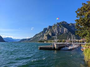
| ItalienItaly: LombardeiLombardy | 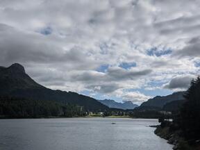 Silser SeeLake Sils (SchweizSwitzerland) |  Borgonuovo: Cascate Acquafraggia |  Comer SeeLake Como: Dervio |  Comer SeeLake Como: Bellano |
|---|---|---|---|---|
 Lake Como: Lecco |  Como Hydrobase | 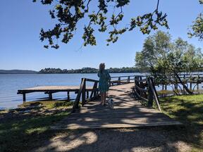 Lago di Varese | ||
| ItalienItaly: Aostatal Valley | 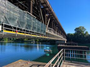 Lago Maggiore: Ponte di ferro |  Ponte-Saint-Martin: Römische Brücke und neue BrückeRoman bridge and new bridge | 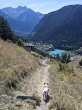 Salomon di Mezzo | |
 Brusson: Zentrumcenter |  Brusson: südöstlicher Ortsrandsoutheastern edge |  Colle di Joux | 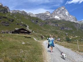 Cervinia: Blick aufview on Matterhorn | |
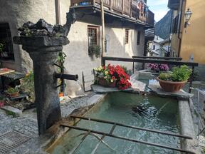
 Aosta: Römisches TheaterRoman theatre |  Aosta: KathedraleCathedral |  Aosta: Fußgängerzonepedestrian area |  Saint-Pierre | |
 Lago d'Arpy | 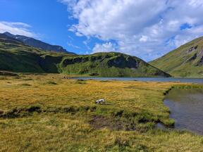 Col du Petit Saint-Bernard: Lago di Verney | 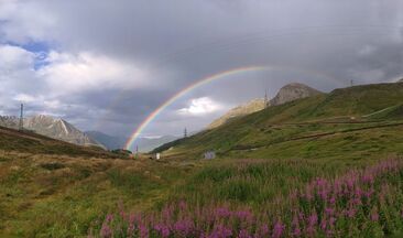 Kleiner Sankt Bernhard: RegenbogenLittle St Bernard Pass: rainbow | 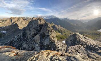 Lancebranlette Aussichtspunktviewpoint: Sphärisches Panoramaphoto sphere | |
 Lancebranlette Aussichtspunktviewpoint: 360° Ppanorama | ||||
| FrankreichFrance: östlicher Teil dereastern part of Route des Grandes Alpes, in südliche Richtung, mit Abstecher ins Piedmontsouthbound, with detour to Piedmont |  Picknickplatz oberhalbpicknick spot above Les Boisses | 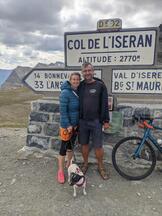 Col de l'Iseran |  Bonneval-sur-Arc |  Barrage du Mont Cenis |
 Lac du Mont Cenis: Ppanorama |  Susa (Piedmont, ItalienItaly): Zentrumcenter |  Susa: Statue von Kaiserstatue of Emperor Augustus | ||
 Col de Montgenèvre |  > >Les Alberts |  Briançon Burgencastles | ||
 Col d'Izoard am Abendin the evening | 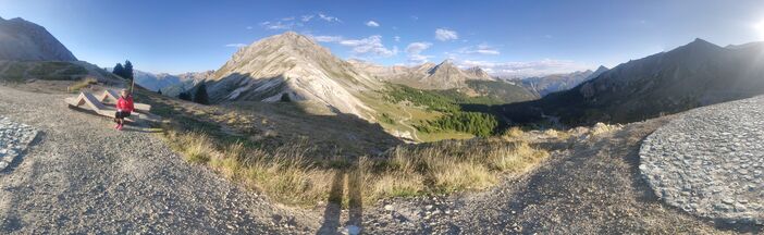 Col d'Izoard am Morgenin the morning | |||
 Saint-Veran | 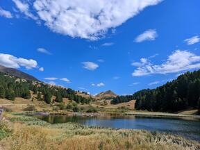 Lac du Refuge Napoléon | 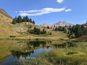 Col de Vars |  Bayasse | |
 Col de la Cayolle |  Lac d'Estenc (beinear Source du Var) |  Col de Valberg (anderer Name:same as Col du Vasson) |  Gorges du Cians | |
| FrankreichFrance: Côte d'Azur |  Nizza: Stadt-Panorama vomNice: city panorama from Plage de Ste Hélène |  Villefranche-sur-Mer | ||
| FrankreichFrance: südlicher Teil dersouthern part of Route des Grandes Alpes, in nördliche Richtungnorthbound |  Camping Domaine de Sainte-Madeleine, beinear Sospel |  Col de Turini |  La Bollène-Vésubie |  Saint-Martin-Vésubie |
 Col Saint-Martin |  Route des Grandes Alpes: Hinweisschilderroad signs |  Col de la Couillole |  Col de Valberg: Parkplatz bei Sonnenunergangparking at sunset | |
| FrankreichFrance: Gegend umarea around Allos |  Col des Champs |  Colmars-les-Alpes |  Lac d'Allos | |
 Allos |  Allos Freibadpublic bath | |||
 Rochegrand | ||||
 Col d'Allos | ||||
 Lac de Serre-Ponçon: Picknickpicknick at slackline spot |  Lac de Serre-Ponçon: slackline |  Lac de Serre-Ponçon: Aussichtspunktviewpoint | ||
| FrankreichFrance: Massif des Écrins |  La Bérarde: Rrestaurant Le Fourney |  Tête de la Maye | ||
 La Bérarde: Le Vénéon |  Lac du Chambon |  La Grave: Blick aufview on La Meije |  Ventelon: Blick aufview on La Meije Nordwandnorth face | |
 Lac du Goléon |  Lac du Goléon: Blick aufview of La Meije |  Les Terrasses: skywalk beinear Oratoire du Chazelet | ||
| FrankreichFrance: westlicher Teil derwestern part of Route des Grandes Alpes, in nördliche Richtungnorthbound |  Col du Lautaret |  Col du Galibier: Aussichtspunktviewpoint | ||
 Col du Galibier: Ppanorama | 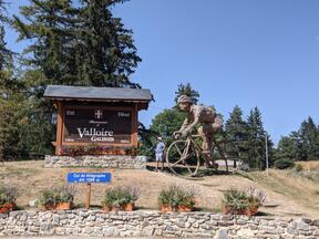 Col du Télégraphe | |||
| FrankreichFrance: Gegend umarea around Chamonix |  Camping Bornand, Demi-Quartier |  Passy: Blick aufview on Chaîne des Aravis |  Chamonix: Lac des Gaillands |  Argentière |
| SchweizSwitzerland: Rhônetal valley |  Martigny | 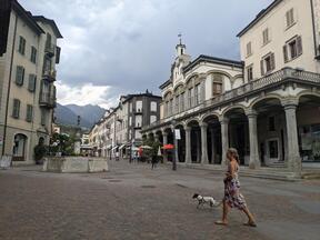 Sion |  Leuk |  Leukerbad |
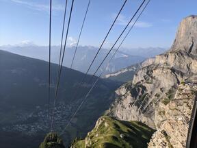 Gemmibahn: Blick aufGemmi cable car: view of Matterhorn |  Gemmipass pass Ppanorama | |||
 Rhônegletscher glacier Ppanorama |  Rhônegletscher glacier: künstliche Eishöhleartificial ice cave | |||
| SchweizSwitzerland: zwischenbetween Rhône undand RheinRhine | 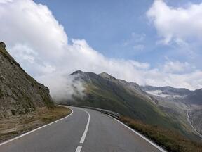 Furkapass pass |  Andermatt | 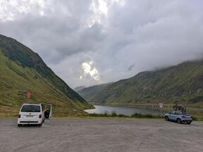 Oberalppass pass: Oberalpsee |  RheinRhinetal valley beinear Schaanwald, Liechtenstein |